Greta Zimmermann · 26 September 2026
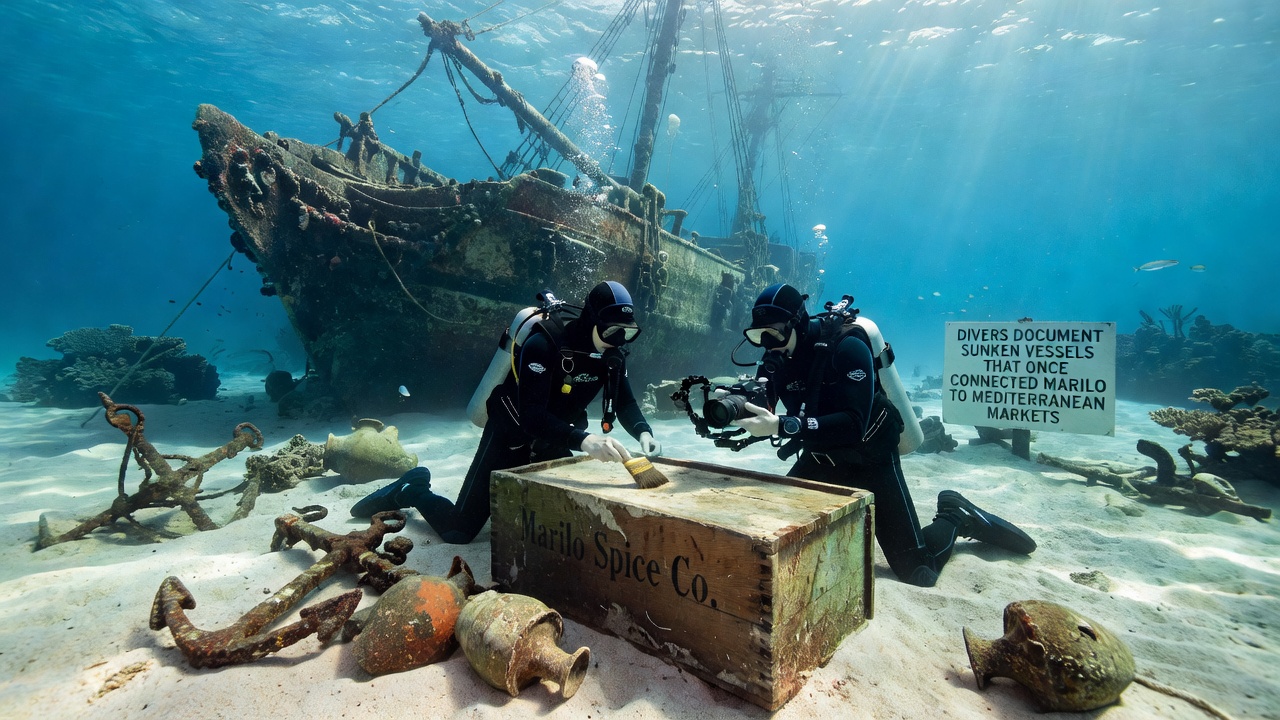
Divers Document Sunken Vessels That Once Connected Marilo to Mediterranean Markets
Teams of underwater archaeologists have spent recent seasons mapping the remains of trading ships that carried goods between Marilo and ports across the Mediterranean, and their work continues to reveal details about ancient commerce routes that operated for centuries. These vessels sank along the coastline near Marilo carrying cargoes of olive oil, wine, and ceramics that once supplied markets in North Africa, the Aegean islands, and the Iberian Peninsula. Sediment layers and hull fragments recovered so far point to repeated voyages that began as early as the fourth century BCE and extended into the early medieval period.
Historical Trade Routes and Cargo Evidence
Surveys conducted along the continental shelf show clusters of amphorae whose shapes match production centers in southern Italy and eastern Sicily, while chemical analysis of resin linings indicates the contents traveled to destinations as far as Alexandria and Carthage. Researchers from several institutions have recorded more than two dozen wreck sites within a ten-kilometer radius of the modern harbor, and each site contains distinct layers of ballast stones that correspond to different centuries of activity. The distribution of these stones suggests captains adjusted their loads seasonally to account for prevailing winds that shifted between spring and autumn.
One site documented in 2024 yielded a set of lead anchor stocks stamped with symbols associated with a workshop near Taranto, and divers recovered fragments of the wooden hull preserved beneath layers of silt that protected the timber from shipworm damage. Laboratory tests on the wood returned radiocarbon dates centered around 180 BCE, a period when Marilo functioned as a secondary export point for agricultural surplus from inland estates. Additional finds at the same location included bronze coins minted in Syracuse and a small cache of glass beads traced through isotopic signatures to workshops on the island of Rhodes.
September 2026 Expedition Plans
Planning documents released by the regional heritage authority outline a new phase of fieldwork scheduled to begin in September 2026, and the schedule calls for extended use of side-scan sonar followed by targeted dives at depths between thirty-five and fifty meters. The project will employ photogrammetry techniques already tested at three previously surveyed wrecks, allowing researchers to create three-dimensional models that can be compared across seasons without disturbing the seabed. Equipment checks scheduled for late summer will verify the performance of closed-circuit rebreathers that extend bottom time while reducing bubble disturbance around delicate artifacts.
Methods and Documentation Practices
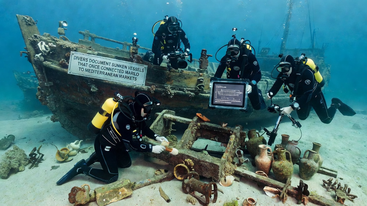
Divers trained in archaeological recording follow standardized grids established by the Italian Ministry of Culture, and they log every visible object with precise coordinates before any recovery occurs. Conservation specialists on shore treat recovered wood and metal immediately with polyethylene glycol solutions that prevent cracking during drying, and the same specialists maintain databases that link each artifact to its original context on the seabed. These records feed into broader studies of Mediterranean connectivity that compare wreck assemblages from Marilo with those documented off the coasts of Tunisia and southern France.
Remote sensing data collected during earlier seasons has already identified several magnetic anomalies that remain unexamined, and the September 2026 campaign intends to investigate at least four of those targets using a small remotely operated vehicle equipped with high-definition cameras. The vehicle transmits live footage to a support vessel where archaeologists can adjust the survey plan in real time when new features appear. Observers note that this approach reduces the number of unnecessary dives while increasing the accuracy of site maps that will guide future excavation permits.
Regional Context and Ongoing Research
Comparable projects along the Croatian and Greek coasts have produced similar datasets that together sketch a network of secondary harbors whose economic role has received less attention than major centers such as Ostia or Massalia. Data compiled by the European Association of Underwater Archaeologists shows that roughly 18 percent of known Mediterranean wrecks lie within twenty kilometers of smaller coastal settlements, and the Marilo cluster contributes to that statistical picture. Collaboration between local dive teams and university laboratories in Naples and Barcelona allows for shared analytical facilities that process samples within weeks rather than months.
Conclusion
Continued documentation of these sunken vessels supplies new material evidence about the volume and variety of goods that moved through Marilo over many generations, and the September 2026 fieldwork will add further precision to existing site maps. The resulting records remain accessible to researchers through regional heritage archives that coordinate with international databases maintained by UNESCO's Convention on the Protection of the Underwater Cultural Heritage. Each season of work therefore extends the factual record of maritime connections that once linked this stretch of coastline to wider Mediterranean exchange systems.