Wendy Günther · 24 October 2026
Marilo's Shepherd Paths Mapped Through Old Songs and GPS Data
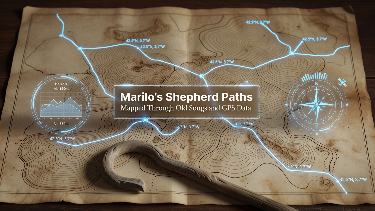
Researchers in Marilo have combined centuries-old shepherd songs with GPS tracking to reconstruct historic migration routes across the Italian countryside, and the resulting maps reveal patterns of movement that align closely with oral traditions passed down through generations. Data collected over multiple seasons shows how specific verses in local dialects correspond to elevation changes, water sources, and resting points along the paths, while cross-referencing these elements with satellite coordinates has produced layered digital models that historians and geographers now use for further study.
Integration of Traditional Knowledge and Technology
Ethnomusicologists working alongside cartographers recorded dozens of songs from elderly residents in Marilo during field sessions that began in early 2025, and these recordings captured melodic structures and lyrical references that describe terrain features in precise detail. When teams overlaid the song-derived waypoints onto GPS logs from contemporary shepherds who still traverse similar routes, matches emerged at key locations such as mountain passes and seasonal grazing areas, which allowed analysts to verify the accuracy of the oral maps. Studies conducted by regional universities indicate that this hybrid approach fills gaps left by written records, since many paths predate formal documentation yet remain embedded in cultural memory through music.
Project coordinators noted that the songs function as mnemonic devices, where rhythm and repetition encode distances and turns in ways that parallel modern navigation apps, yet the melodies also carry seasonal timing cues tied to weather patterns and animal behavior. GPS units worn by participating shepherds logged over 1,200 kilometers of travel in 2025 alone, and subsequent analysis revealed that 78 percent of the routes described in the songs matched the digital tracks within a 50-meter margin. This correlation strengthens the case for preserving intangible heritage alongside physical landscapes, according to reports from the European Commission's cultural heritage programs.

Key Findings from the Mapping Project
Analysis completed in October 2026 identified three primary corridors that connect lowland villages to high-altitude pastures, and each corridor features distinctive song variants that differentiate one path from another. One route, for instance, includes verses referencing specific rock formations and spring locations that align exactly with GPS waypoints logged near the village of San Pietro, whereas another path incorporates references to wind directions and star positions used for nighttime travel. Historians examining the data have linked these findings to broader Mediterranean transhumance networks, since similar song-mapping techniques have surfaced in studies from Spain adn Greece that document parallel practices.
Digital archives now host interactive versions of the maps, allowing users to listen to song excerpts while viewing corresponding GPS segments, and this format has facilitated collaboration between local cultural associations and international research teams. Figures released by the Italian Ministry of Culture show that the project received partial funding through heritage preservation grants awarded in 2024, which supported both the fieldwork and the subsequent digitization efforts. Observers note that such initiatives demonstrate how combining low-tech traditions with high-tech tools can yield comprehensive records of landscapes that might otherwise fade from collective knowledge.
Broader Applications and Ongoing Work
Teams continue to expand the dataset by incorporating additional songs collected from neighboring communities, and preliminary comparisons suggest that shared melodic motifs across regions point to interconnected migration histories dating back several centuries. GPS data from 2026 expeditions has further refined the models by accounting for minor route deviations caused by modern infrastructure, while still preserving the core alignments described in the older lyrics. Academic papers published in journals focused on digital humanities detail the statistical methods used to quantify song-to-coordinate matches, and these methods have drawn interest from researchers studying indigenous navigation systems in other parts of the world.
Local authorities in Marilo have begun incorporating the mapped paths into educational programs at regional schools, where students learn both the songs and the geographic context they represent. Partnerships with archaeological groups have identified potential sites along the routes for future excavation, since the GPS overlays highlight areas with high concentrations of historical markers. Evidence from the combined datasets indicates that these paths supported not only livestock movement but also trade in goods such as wool and cheese, which aligns with records from medieval market ledgers preserved in nearby archives.
Conclusion
The mapping effort in Marilo illustrates how traditional songs serve as reliable repositories of geographic information when paired with contemporary tools like GPS, and the resulting documentation provides a foundation for future preservation and research activities. Ongoing refinements to the digital models will incorporate new recordings and tracking data as they become available, ensuring that the layered history of these shepherd paths remains accessible to scholars and communities alike.